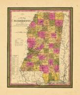
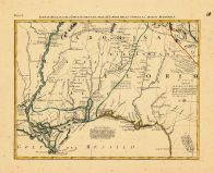
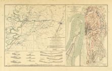
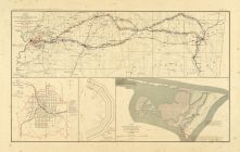
Mississippi Historical Maps and Atlases
The state of Mississippi collection contains 56 atlases spanning 282 years of growth and development (1721 through 2003).
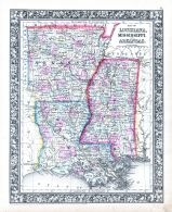
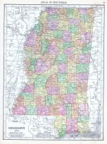
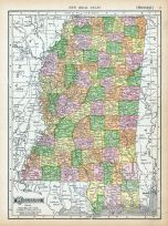
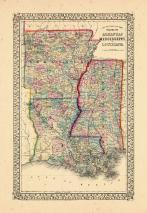
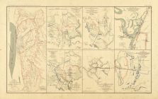
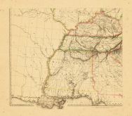
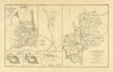
Within the atlases are 7,461 historical maps, illustrations, and histories many of which contain family names ideal for genealogical research. Others are rare antique maps, part of the collection by an exclusive arrangement with the Osher Map Library. The state of Mississippi has 13 of these antiquarian maps dating back as early as 1721.
|
Displaying 1- 50 of 54 in total
|
Next >> |
Click on a column header to sort table.
|
Name |
Attributes |
Quality |
Publisher |
State |
Date |
|
Displaying 1- 50 of 54 in total
|
Next >> |

 Cart
Cart