Florida Historical Maps and Atlases
The state of Florida collection contains 485 atlases spanning 455 years of growth and development (1541 through 1996).
Within the atlases are 10,682 historical maps, illustrations, and histories many of which contain family names ideal for genealogical research. Others are rare antique maps, part of the collection by an exclusive arrangement with the Osher Map Library. The state of Florida has 28 of these antiquarian maps dating back as early as 1541.
|
Displaying 1- 50 of 417 in total
|
Next >> |
Click on a column header to sort table.
|
Name |
Attributes |
Quality |
Publisher |
State |
Date |
|
Name |
Atlas |
Attributes |
Publisher |
Date |
Collection |
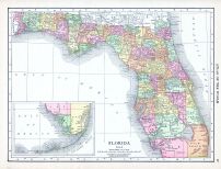 |
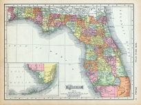
Florida |
World Atlas 1913 |
 |
Rand McNally and Com... |
1913 |
HMW |
 |
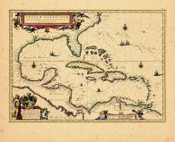
Gulf of Mexico and Carribean 1... |
Gulf of Mexico and Carribean 1... |
|
Jomard |
1850 |
HMW |
 |
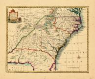
North Carolina, South Carolina... |
World Atlas 1864 Mitchells New... |
|
S. Augustus Mitchell |
1864 |
HMW |
 |
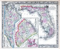
Page 075 - Florida |
World Atlas 1911c from Minneso... |
|
Rand, McNally and Co... |
1911 |
HMW |
 |
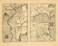
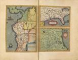
Map - Page 1 |
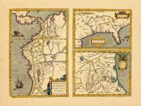
Peruviae Auriferae regionis Ty... |
|
Ortelius, Abraham |
1612 |
OML |
|
 |
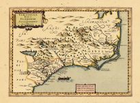
Map - Page 1 |
Virginiae Partis Australis et ... |
|
Blaeu, William |
1655 |
OML |
|
 |
Map - Page 1 |
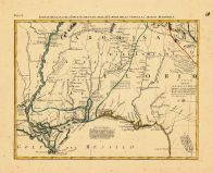
The Coast of West Florida and ... |
|
Jefferys, Thomas |
1794 |
OML |
|
 |
Map - Page 1 |
Virginiae Partis Australis et ... |
|
Jansson, Jan |
1644 |
OML |
|
 |
Map - Page 1 |
A New and Accurate Map of the ... |
|
Bowen, Emanuel |
1747 |
OML |
|
 |
Map - Page 1 |
Virginiae partis australis et ... |
|
Jansson |
1658 |
OML |
|
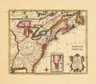 |
Map - Page 1 - A New MAP of/th... |
A New MAP of/the/BRITISH DOMIN... |
|
ANNUAL REGISTER / KI... |
1763 |
OML |
|
 |
Map - Page 1 - CARTE DE LA NOU... |
CARTE DE LA NOUVELLE FRANCE,ou... |
|
FER, NICOLAS de/OTTE... |
1719- |
OML |
|
 |
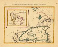
Map - Page 1 - INSVLAE AMERICA... |
INSVLAE AMERICANAE/IN OCEANO S... |
|
BLAEU, WILLEM |
1640 |
OML |
|
 |
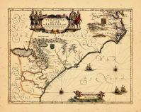
Map - Page 1 - LA FLORIDA// GV... |
LA FLORIDA// GVASTECAN// PERVV... |
|
ORTELIUS, ABRAHAM |
1609-12 |
OML |
|
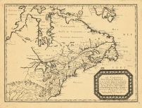 |
Map - Page 1 - LE CANADA,ou No... |
LE CANADA,ou Nouvelle France,a... |
|
SANSON, NICOLAS |
1656 |
OML |
|
 |
Map - Page 1 - LE CANADA/faict... |
LE CANADA/faict par le Sr. de ... |
|
CHAMPLAIN, SAMUEL de... |
1653 |
OML |
|
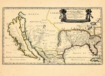 |
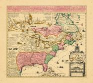
Map - Page 1 - LE NOUVEAU MEXI... |
LE NOUVEAU MEXIQUE et LA FLORI... |
|
SANSON, NICOLAS |
1656 |
OML |
|
 |
Map - Page 1 - TIERRA NVEVA |
TIERRA NVEVA |
|
RUSCELLI, GIROLAMO /... |
1598-99 |
OML |
|
 |
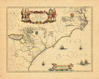
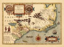
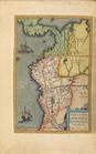
Map - Page 1 - VIRGINIA ITEM e... |
VIRGINIA ITEM et FLORIDAE |
|
DU SAUZET, HENRI |
1734 |
OML |
|
 |
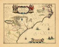
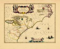
Map - Page 1 - VIRGINIAE ITEM ... |
VIRGINIAE ITEM ET FLORIDAE AME... |
|
HONDIUS, JODOCUS |
1630 |
OML |
|
 |
Map - Page 1 - VIRGINIAE ITEM ... |
VIRGINIAE ITEM ET FLORIDAE AME... |
|
HONDIUS, JODOCUS |
1619 |
OML |
|
 |
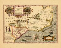
Map - Page 1 - VIRGINIAE/parti... |
VIRGINIAE/partis australis,/et... |
|
BLAEU, WILLEM |
1640 |
OML |
|
 |
Map - Page 11 - LE COLONIE UNI... |
LE COLONIE UNITE DELL AMERICA ... |
|
MITCHELL, JOHN / ZAT... |
1778 |
OML |
|
 |
Map - Page 2 - LE COLONIE UNIT... |
LE COLONIE UNITE DELL AMERICA ... |
|
MITCHELL, JOHN / ZAT... |
1778 |
OML |
|
 |
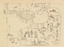
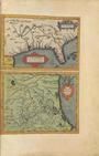
PERVVIAE AVRIFERAE REGIONIS TY... |
THEATRUM ORBIS TERRARUM |
|
ORTELIUS, ABRAHAM |
1595 |
OML |
|
 |
PERVVIAE AVRIFERAE REGIONIS TY... |
THEATRUM ORBIS TERRARUM |
|
ORTELIUS, ABRAHAM |
1595 |
OML |
|
 |
PERVVIAE AVRIFERAE REGIONIS TY... |
THEATRUM ORBIS TERRARUM |
|
ORTELIUS, ABRAHAM |
1595 |
OML |
|
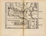 |
Tabula terrae novae 0246-00 |
CLAVDII PTOLEMAEI ALEXANDRINI ... |
|
PTOLEMY, C. / SERVET... |
1541 |
OML |
|
|
Displaying 1- 50 of 417 in total
|
Next >> |

 Cart
Cart